
MCA Selector shows a Java save as a map of chunks. It is useful when you want to understand the area around a building district, follow the footprint of exploration or prepare a bounded chunk export. A chunk includes much more than the roof you can see from above, so choose the surroundings as deliberately as the building itself.
Close the world and make a complete copy before opening it in the tool. Keep the original intact, including dimension data, entities and points of interest. Work on the copy even when the first task is only selecting an area.
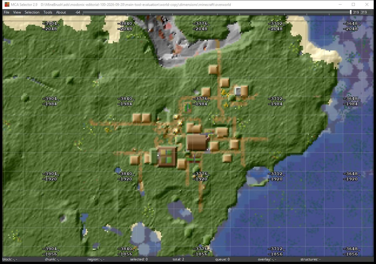
Find the whole place, not just the house
Open the copied save and select the dimension you need. Find a familiar landmark, then zoom out far enough to see its roads, fields and neighboring terrain. Include the parts that make the place work: a path to the entrance, villager activity, farms, redstone and any underground rooms.
Our example is a copied Java 26.2 Field Workshop opened in MCA Selector 2.9. The map makes the relationship between the main building and its surrounding plots visible. The orange selection below covers a 12 × 12 area: 144 chunks. It leaves space around the workshop instead of cutting directly through its roofline.
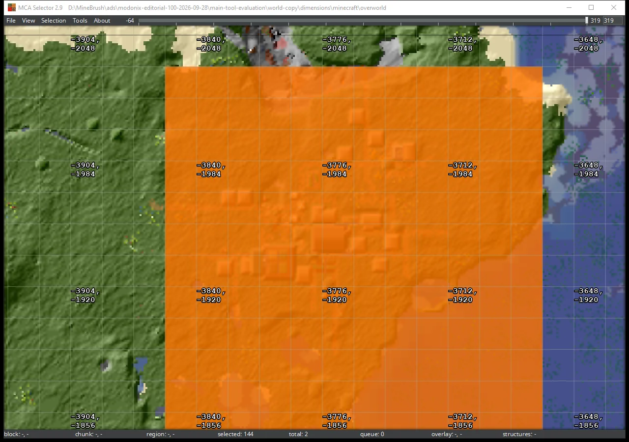
Before exporting your own selection, inspect all four edges. A farm continuing across a boundary or a tunnel beneath an apparently empty field can be easy to miss. Save the selection so you can return to the same area without drawing it again.
Understand what an export contains
For the demonstration, the selected chunks were exported into a separate output directory. The output includes terrain, entity and point-of-interest region files. That is a bounded chunk export; it is not a finished standalone world with a new spawn and all of the original world's settings. Keep the complete save copy available when planning any later import.
Selection, export and deletion are different operations. A selection identifies chunks; export copies the selected data elsewhere; deletion removes chunks from the working save. Minecraft may later generate deleted areas again, changing terrain boundaries and destroying builds. A low activity value does not prove that an area is disposable.
Use coordinates carefully
The CLI can write a CSV selection for repeatable work. Its coordinate filters use chunk coordinates: divide a block coordinate by 16 and round down. Negative values are where ordinary rounding can put a boundary in the wrong place. Inspect the resulting selection on the map before relying on it.
Modern Java saves may keep Overworld region data under dimensions/minecraft/overworld instead of a top-level region directory. If a tool finds no terrain, check the dimension path and supported world format before assuming the save is empty. MCA Selector does not read Bedrock's database. If your aim is moving one cottage rather than a whole district, a structure or schematic tool may give you a simpler boundary.
Use this tool
This resource is hosted on its own website.
Open tool ↗github.com
Comments & questions
Share what worked, ask for help or reply to another player.
No comments yet. Share what worked for you.